

Any of the infrastructure programs (Water Supply, Sewage, Electrification and Gas Supply) can import a topographic model of the land if the project is connected to a BIM model located in BIMserver.center that contains an IFC4 file with the landa data defined in an “IfcGeographicElement” type entity.
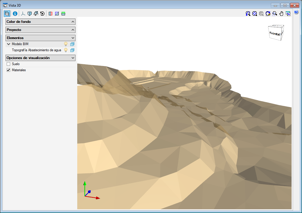
If an IFC of these characteristics is imported, the land will appear on the screen represented with contour lines and when the nodes of the network are introduced, the elevation of the land where they are located will be used automatically, greatly aiding in the definition of the network.
If additionally, the geometry of the land is to be visible in the 3D views of the program and in the 3D viewer of BIMserver.center, the IFC4 must have an associated GLTF file that includes that 3D view.
The reading of topographic models of the land is also included in the new equivalent infrastructure programs that are installed from the BIMserver.center platform (CYPE Water Supply, Open BIM Sewage, CYPE Electrification and CYPE Gas Supply).