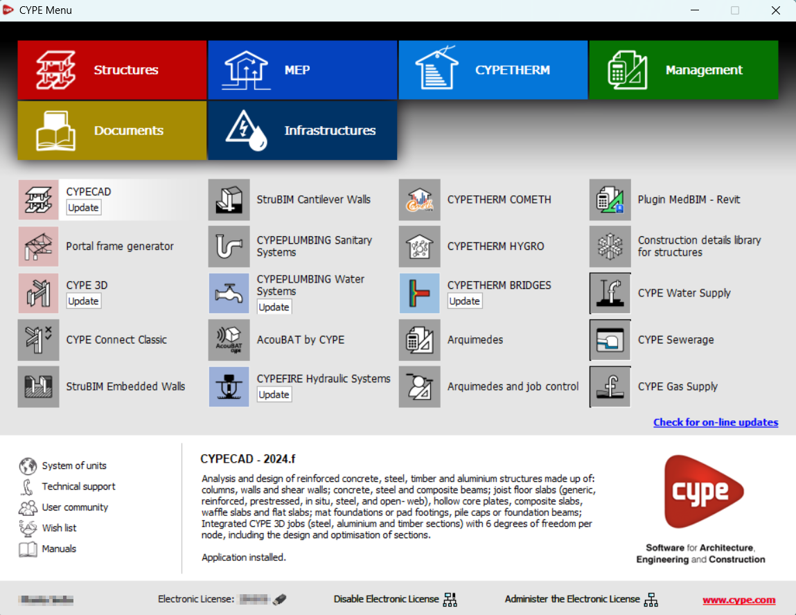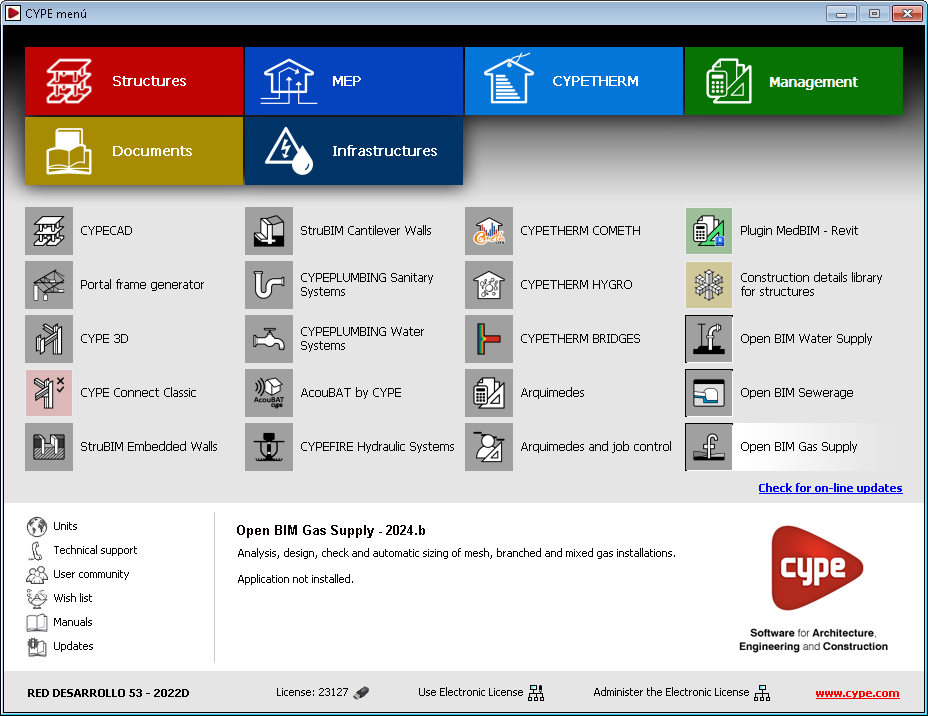

In version 2025.a, CYPE Menu (which can now be downloaded exclusively from the BIMserver.center platform) has new program groups.
- Architecture
- Structures
- MEP (Mechanical and Plumbing)
- MEP (Electrical)
- Energy and acoustic simulations
- Project management
- Project documents
- Interoperability
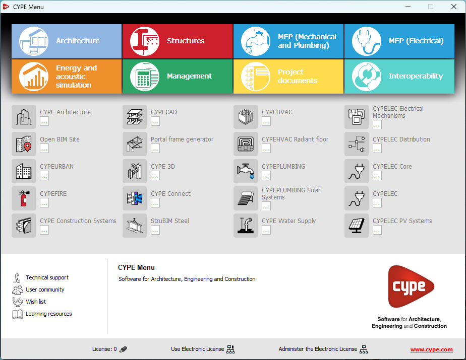
Most of the CYPE applications are sorted into these groups. In previous versions, most of these applications could only be downloaded as single applications from the BIMserver.center platform.
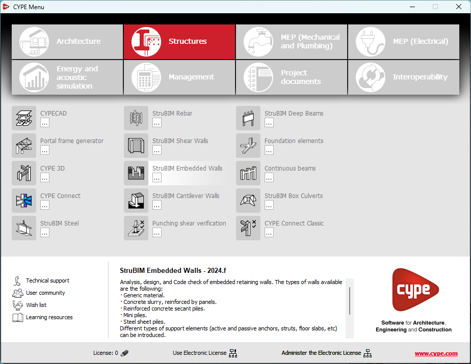
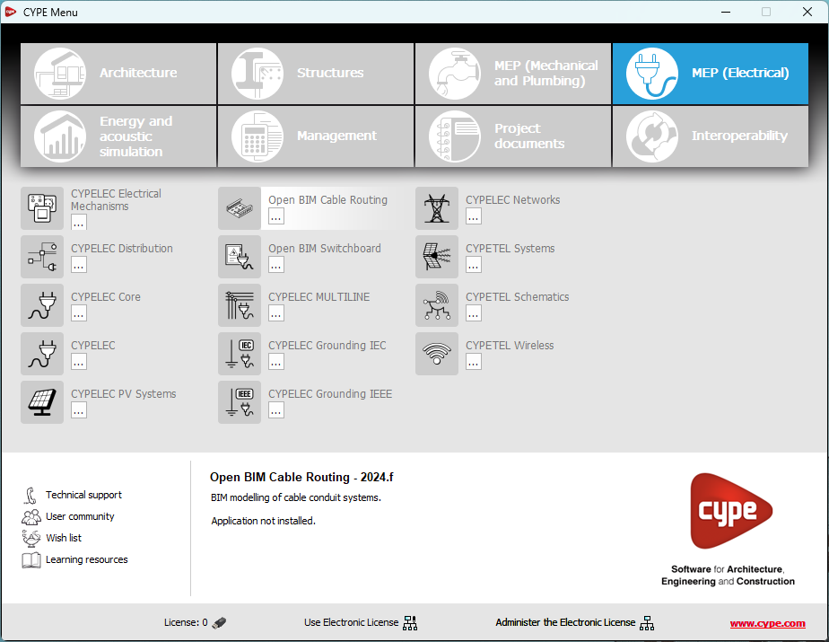
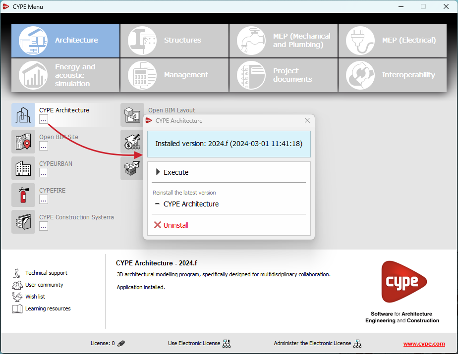
By downloading and installing CYPE Menu, users will only have the CYPE programs menu installed, but none of the applications included in it will be downloaded or installed. Initially, each of the icons representing the CYPE Menu applications appears in a box with a grey background. When clicking on any of them for the first time (or on the button under the application's name), a contextual menu will appear allowing users to download and install the latest version of that application or an earlier version if available. Earlier versions (from 2024 onwards) will be available for those programs that include paid modules. Normally, free applications will only allow the latest version of these programs to be installed. Any installed version of any application can be uninstalled.
When an application has been installed, by clicking on the button under its name, the context menu that appears includes the "Uninstall" option.
More information on this program menu can be found in the FAQ "How to download and install programs from CYPE’s general menu".
The CYPE Menu download of versions before 2025 (with the applications included) is still available in the download area of the CYPE website.