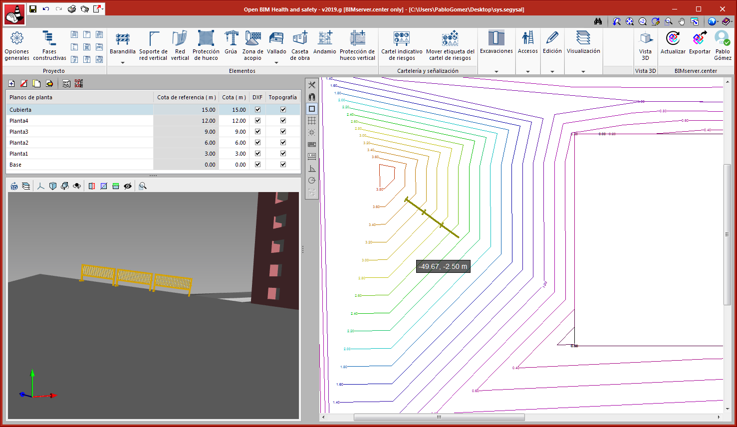
As of version 2019.g, users can import the topographic model of the terrain from the BIM project and interact with it. The elements that have been introduced will be placed at the detected elevation of the topographic model. Users can select whether or not the topography is to be visible.
For "CYPE Health and safety" to correctly interpret the topographic model, the program that generates the model of the terrain must do so in an "IFCSite" or "IFCGeographicalElement" type entity.