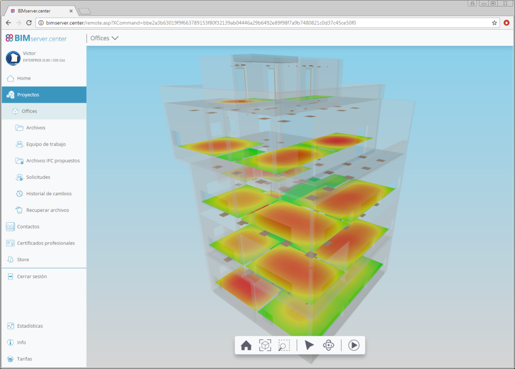
When the project information is exported to BIMserver.centre, the IFC file that is generated has several “.gltf” file referenced to it, which contain the contour maps of each result represented in the 3D view of the program (maintained horizontal illuminance, unified glare rating, daylight coefficient...). This allows users to view the contour maps in the 3D viewer of BIMserver.center, in a similar way as is done in other Open BIM applications such as CYPETEL Wireless.
The “.gltf” files that are generated by CYPELUX programs are independent of each other and of the file that is generated for lights since the previous version (2018.k), so each one can be viewed independently.


