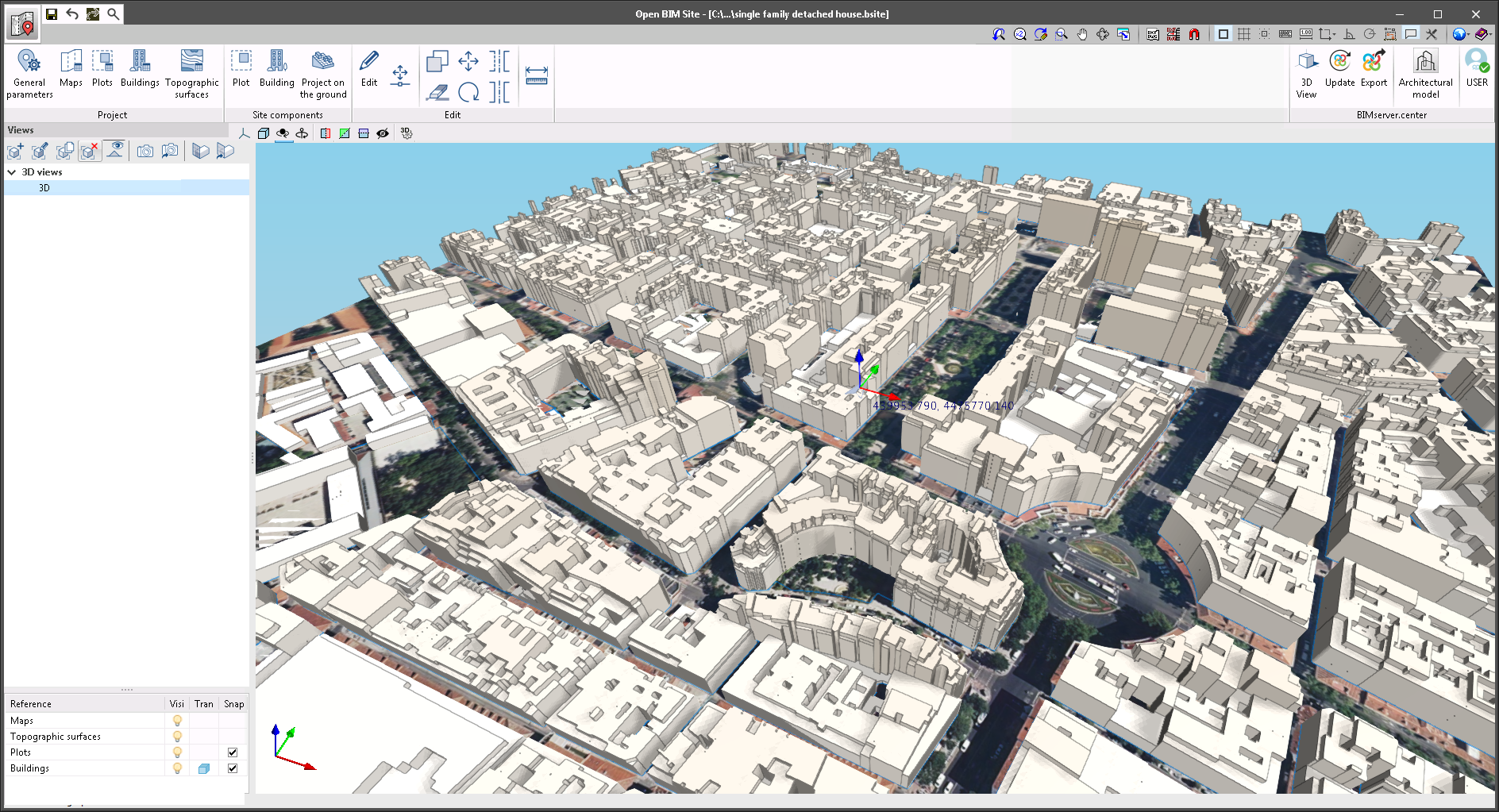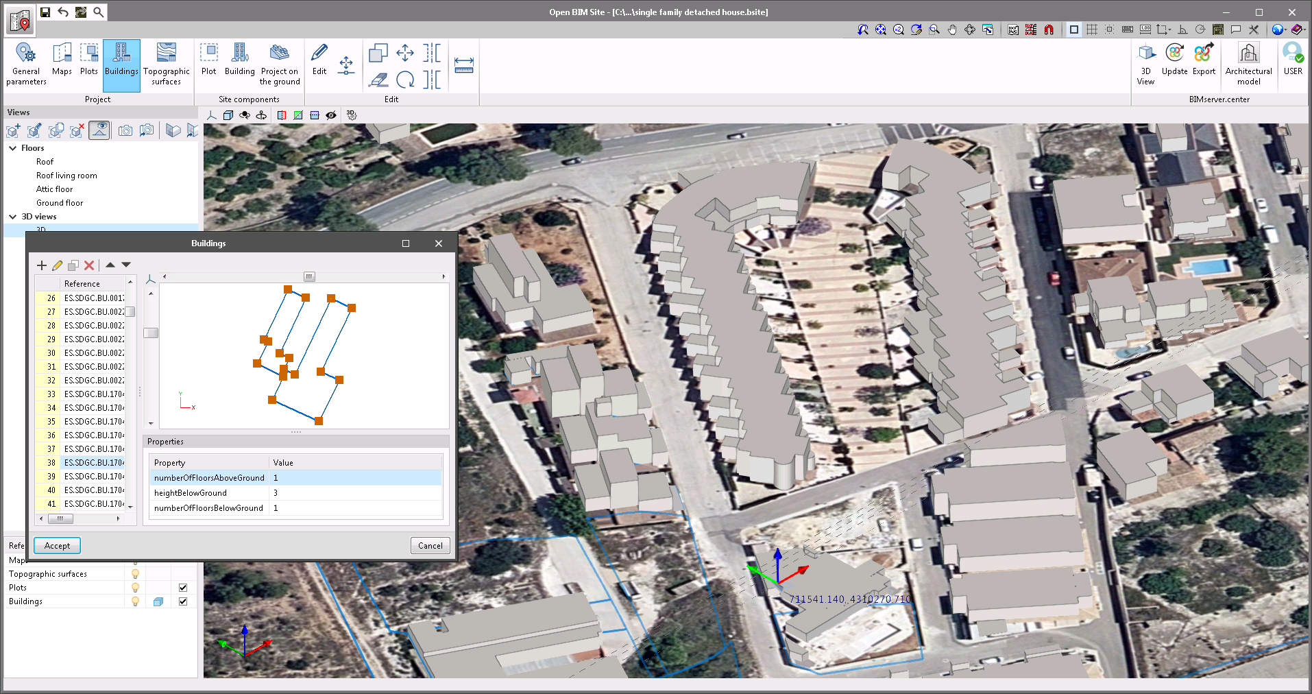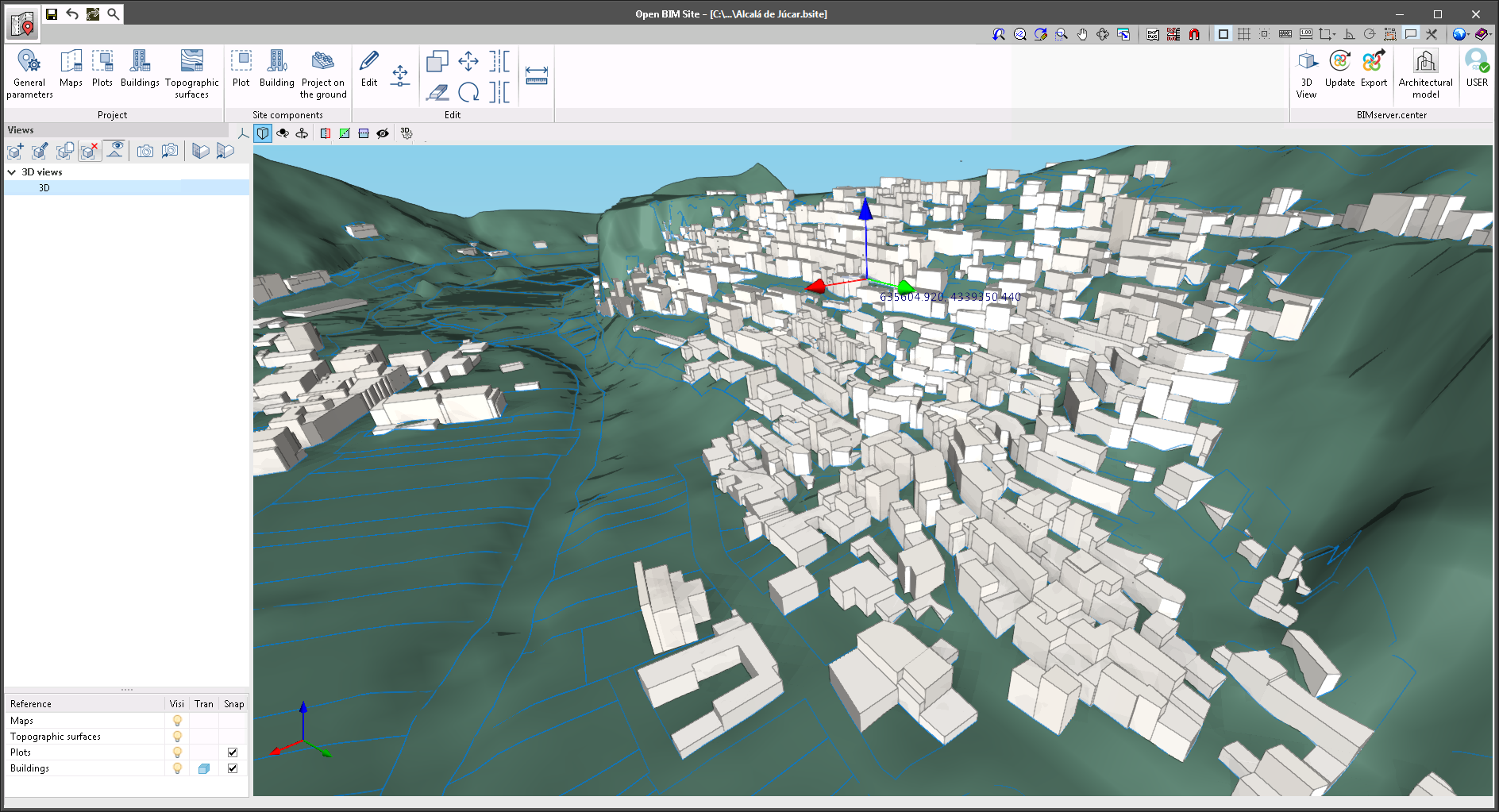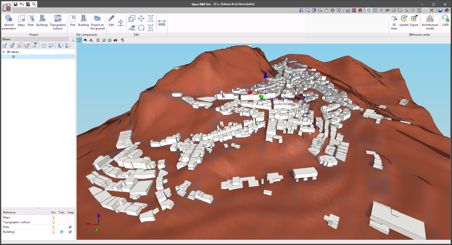
"Open BIM Site" is a free application for defining the initial conditions of a project site. With this tool, users can establish the geographical site of the models, manage different types of maps, enter topographic surfaces and add site-specific elements such as plots and buildings.
This application is integrated into the Open BIM workflow via the BIMserver.center platform.
"Open BIM Site" is an application with an international scope as it allows the site conditions of a construction project anywhere in the world to be specified. However, for projects located in Spain, the application includes a connection to two Spanish web services: the cadastre (Sede Electrónica del Catastro) and the Geographical Institute (Instituto Geográfico Nacional) in order to enter site data more easily, as well as obtaining maps and topographic surfaces.