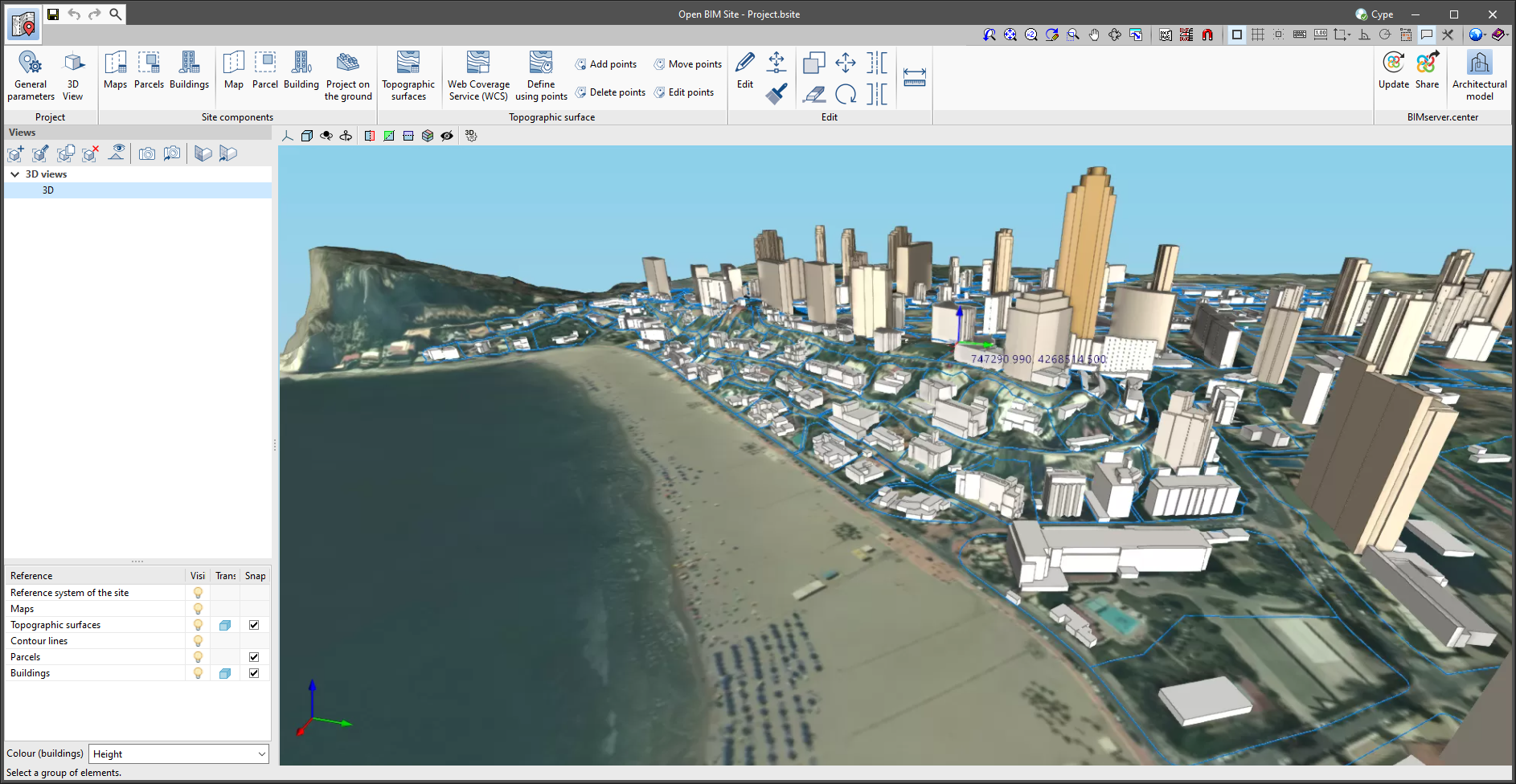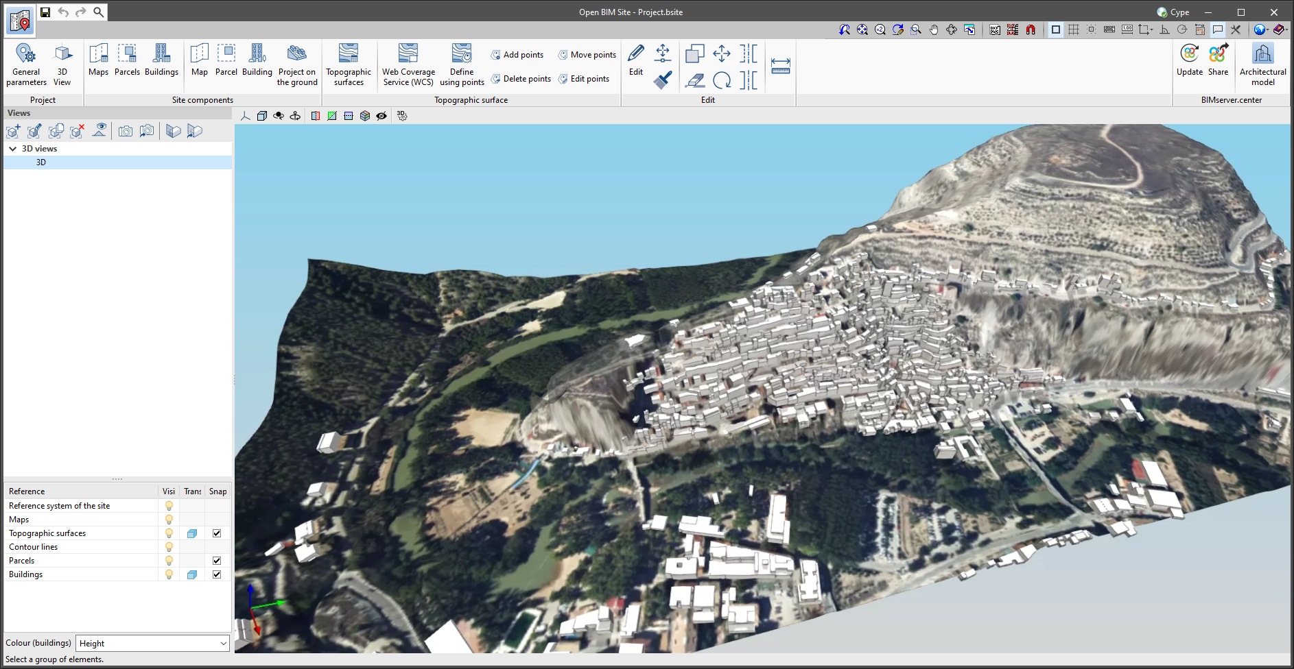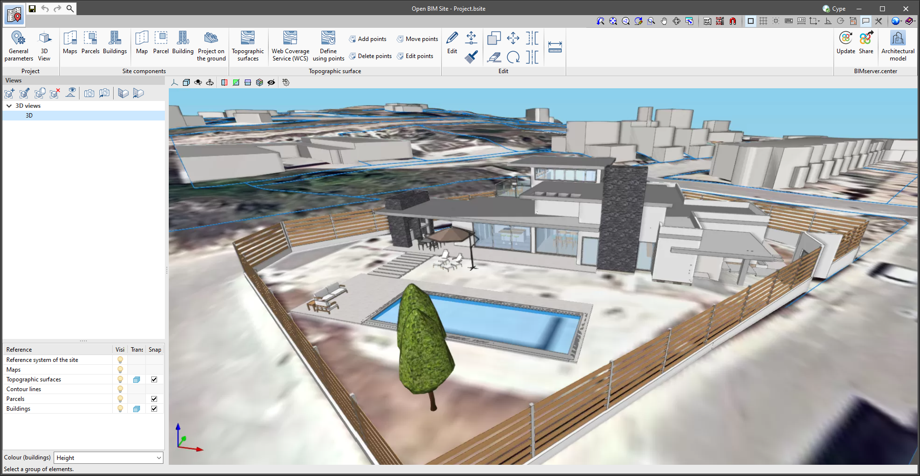
The "Topographic surface" column has been added to the project maps table, available in the application's toolbar. For each map, a topographic surface can be selected where the map will be projected and displayed in the drawing area as a texture. If the "Without associated surface" option is selected, the map will be drawn at zero level, as in previous versions of the application.