Results output
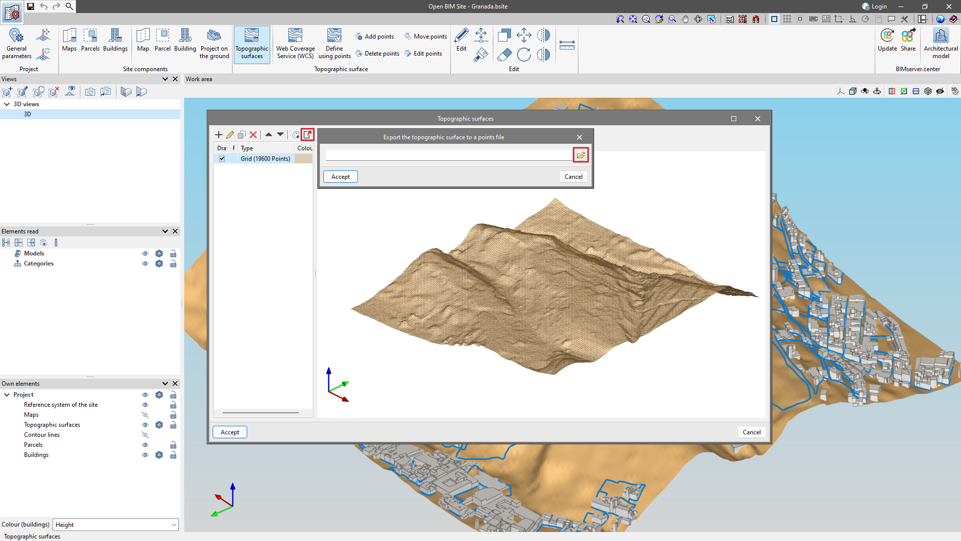
Exporting a topographic surface to a points file
From the "Topographic surfaces" section of the project, in the top toolbar is the "Export surface to a point file" option.
The output format is a comma-delimited value file with the "x", "y", "z" coordinates of each point on each line.