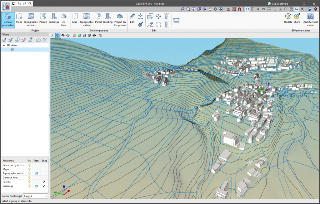
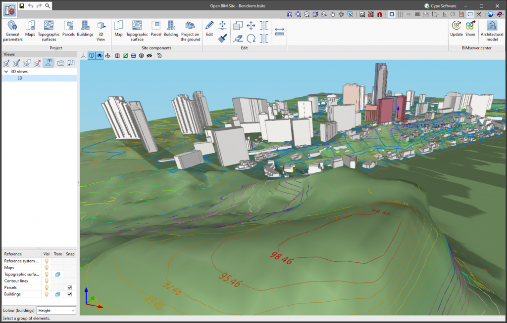
In the field of topography, contour lines are lines that connect points on a map with identical altitudes. Thanks to this technique, areas with different elevation differences can be easily identified.
The generation of contour lines in Open BIM Site is automatic. However, users can control their visualisation of the 3D model of the site using the application's left-hand sidebar.
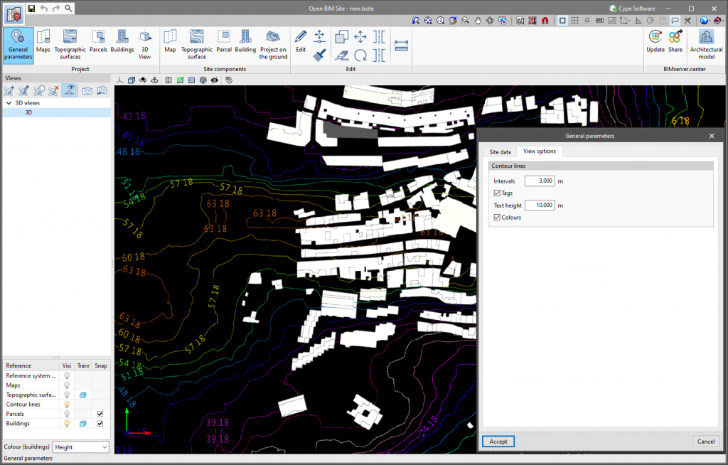
The "General parameters" panel, available in the application toolbar, has been divided into two tabs. The "Site data" tab contains the information related to the georeferencing of the model that was already present in previous versions of the tool. To configure the viewing of contour lines, the "View options" tab has been added with the following parameters:
- Intervals
Shows the vertical distance between two contour lines. - Tags
When activating this option, a text is displayed along with the contour lines to show their elevation.- Text height
Determines the tags’ text size.
- Text height
- Colours
When this option is activated, a colour scale will be used to represent contour lines according to their elevation. Otherwise, the contour lines will be drawn in black.


