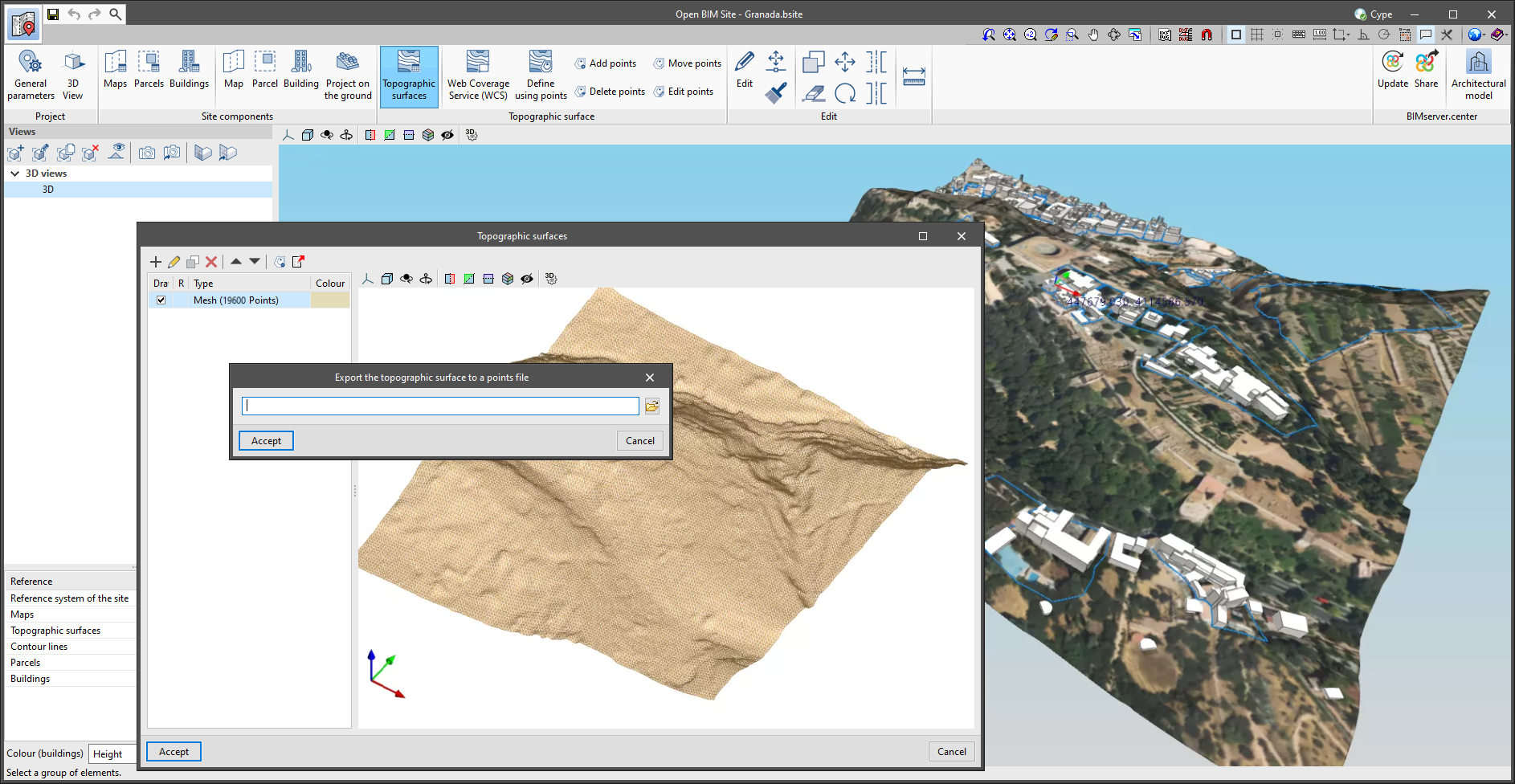
A button has been added to the project's topographic surface table, available in the application's toolbar, for exporting the selected surface to a points file. The export format is a comma-delimited value file with the X, Y, Z coordinates of each point on each line.