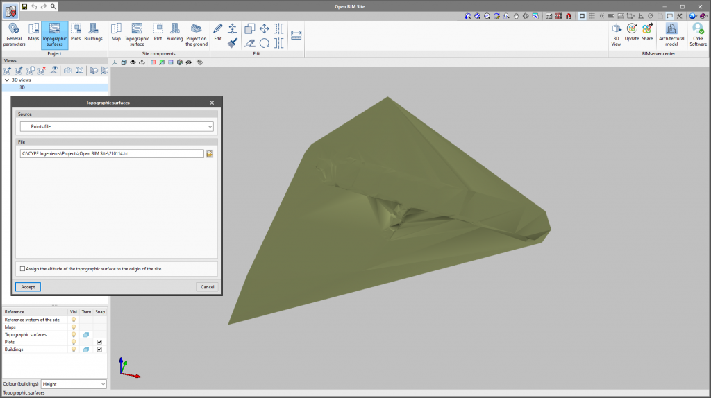
As of version 2022.c, Open BIM Site allows points files to be imported for describing a topographic surface. To do this, the "Points file" option has been added as a possible data source in the definition panel of a topographic surface.
In order for a point file to be interpreted correctly by the application, it must meet the following requirements:
- It must have a ".csv" or ".txt" extension and the parameters must be separated by commas (",").
- Each line in the file must be a point on the topographic surface.
- The first three fields of a line in the file must correspond to the x, y and z coordinates of the point.


