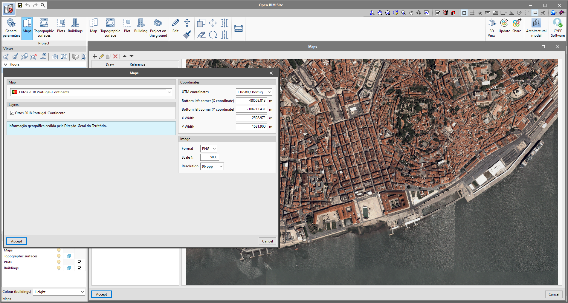
As of version 2022.c of Open BIM Site, the Web Map Service of the Portuguese organisation "Direção-Geral do Território. Divisão de Informação Geográfica" can be accessed.
The "Ortos 2018 Portugal-Continent" option has been added to the "Maps" menu available in the application’s toolbar. According to the performance of the WMS service, the following coordinate systems can be used to obtain the map section that will be inserted in the work area:
- ETRS89 / Portugal TM06
- WGS84 / Pseudo-Mercator