
Projecting on topographic surfaces
Projecting maps on a topographic surface
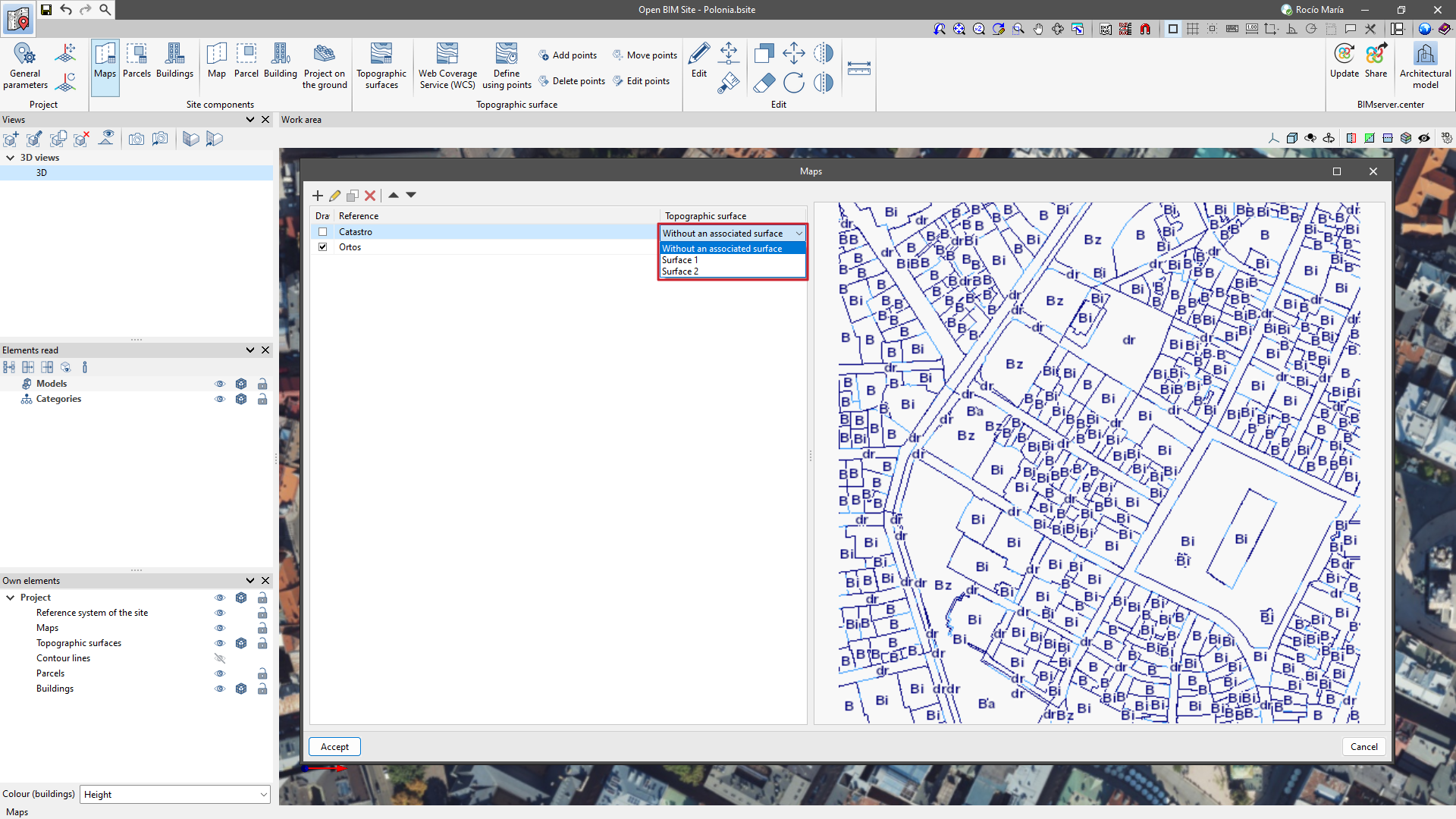
In the "Maps" window, a topographic surface can be associated with each map.
When associating the topographic surface, the map will be projected and displayed in the "Work area" with the elevation changes of the associated surface.
When selecting the "Without an associated surface" option, the map will be drawn at zero elevation.
Projecting parcels and buildings on the ground

Once the topographic surfaces, plots and buildings have been entered, the contours of the plots and buildings can be projected onto the ground using the "Projection on the ground" option.
This provides a more detailed and contextualised perspective of the project location.