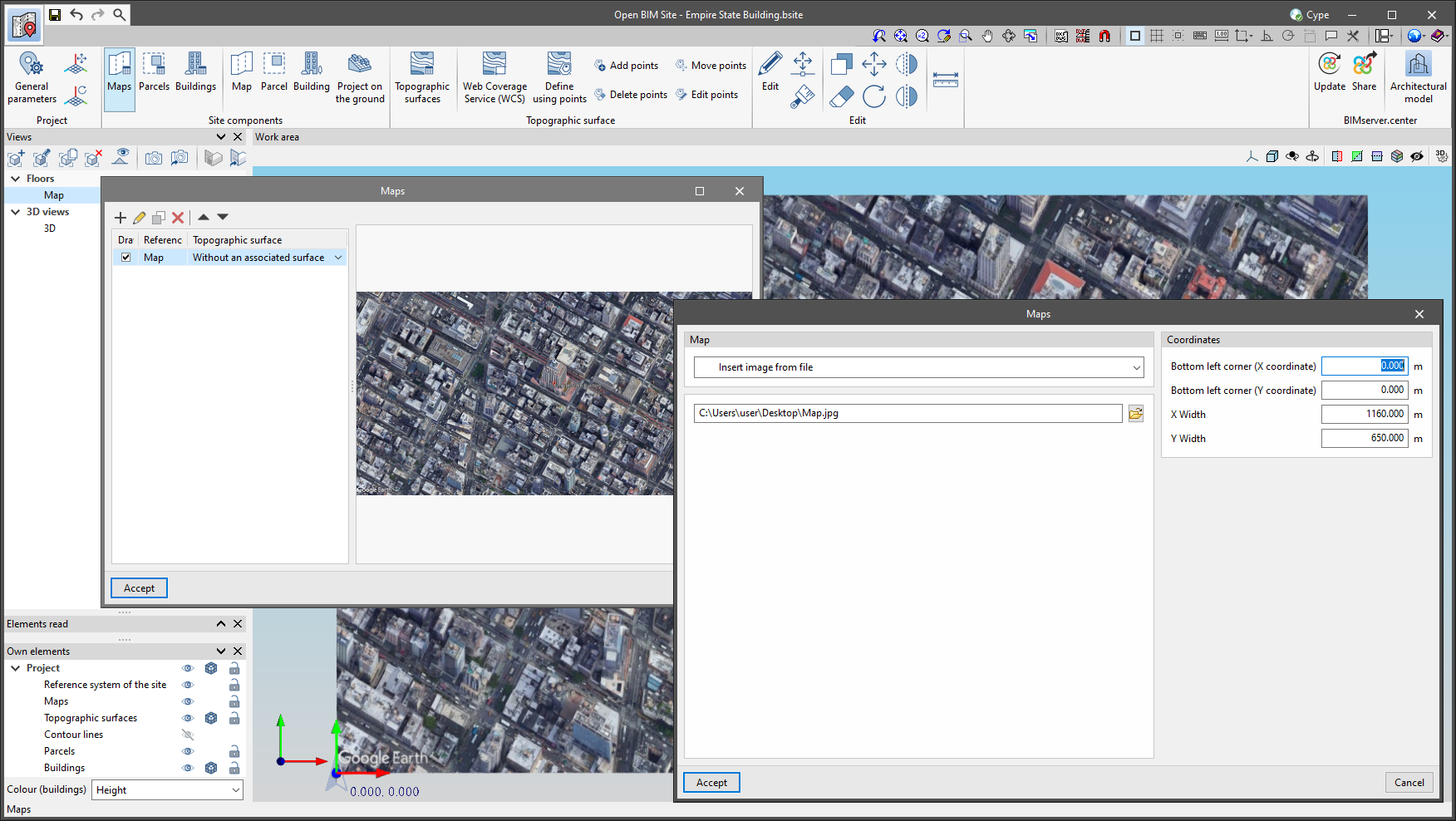
Up until now, maps of Open BIM Site projects had to either be obtained from one of the WMS services connected to the application or, if a file was available, the template system had to be used. As of version 2023.e, Open BIM Site allows maps to be imported directly from image files. To do this, the "Insert image from file" option has been added in the properties window of a map. When selecting it, the complete path of the image must be specified. The format of the image can be JPEG (".jpeg", ".jpg"), BMP (".bmp"), PNG (".png") or WMF (".wmf"). Additionally, as with the rest of the maps, users must specify the coordinates where the image will be inserted and the actual size of the image.
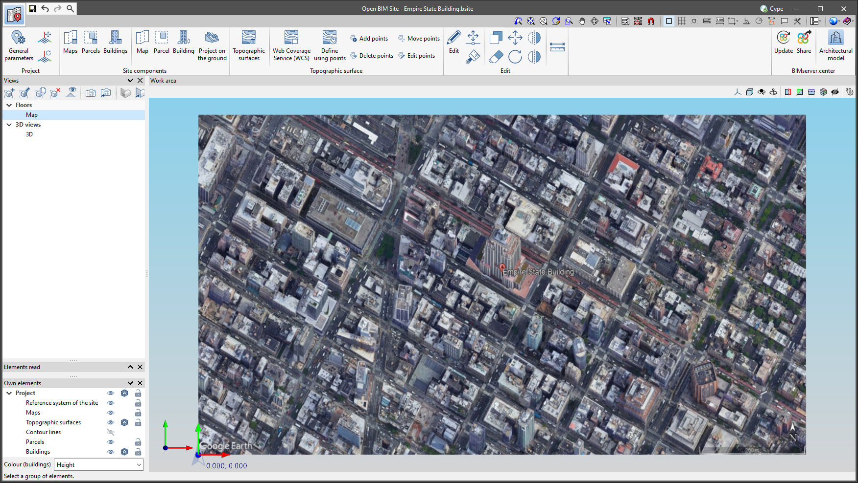
The main advantage of using the application maps over the template system of the drawing environment is that the maps can be projected onto the topographic surfaces and then exported to the BIMserver.center project.